
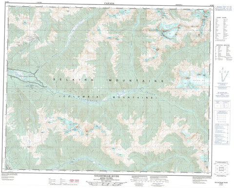
082M09 Goldstream River Canada topo map, 1:50,000 scale
082M09 Goldstream River NRCAN topographic map.
Includes UTM and GPS geographic coordinates (latitude and longitude). This 50k scale map is suitable for hiking, camping, and exploring, or you could frame it as a wall map.
Printed on-demand using high resolution, on heavy weight and acid free paper, or as an upgrade on a variety of synthetic materials.
Topos available on paper, Waterproof, Poly, or Tyvek. Usually shipping rolled, unless combined with other folded maps in one order.
- Product Number: NRCAN-082M09
- Parent Topo: TOPO-082M
- Map ID also known as: 082M09, 82M9, 82M09
- Unfolded Size: Approximately 26" high by 36" wide
- Weight (paper map): ca. 55 grams
- Map Type: POD NRCAN Topographic Map
- Map Scale: 1:50,000
- Geographical region: British Columbia, Canada
Neighboring Maps:
All neighboring Canadian topo maps are available for sale online at 1:50,000 scale.
Purchase the smaller scale map covering this area: Topo-082M
Spatial coverage:
Topo map sheet 082M09 Goldstream River covers the following places:
- Goldstream Glacier - Goldstream Névé - OK Glacier - Remillard Glacier - Triangle Névé - Gannet Lake - Lake Revelstoke - Alpina Dome - Big Bend Ranges - Boulder Peak - Columbia Mountains - Craw Peak - Downie Peak - Folly Peak - Goldstream Mountain - Half Dome - Hitchhiker Peak - Remillard Peak - Selkirk Mountains - Serendipity Spire - Triangle Mountain - Waldorf Towers - Wart Peak - Whiteface Tower - Yard-arm Ridge - Columbia-Shuswap Regional District - Argonaut Creek - Barret Creek - Boulder Creek - Brewster Creek - Caribou Creek - Columbia River - Craw Creek - Downie Creek - Fleuve Columbia - French Creek - Fuller Creek - Goldstream River - Graham Creek - Granite Creek - Long Creek - Lund Creek - McCulloch Creek - Norman Wood Creek - Old Camp Creek - Sorcerer Creek - Stitt Creek - Sweeper Bill Creek - Windy Creek - Argonaut Pass - Caribou Basin - Groundhog Basin - Nadir Notch


