
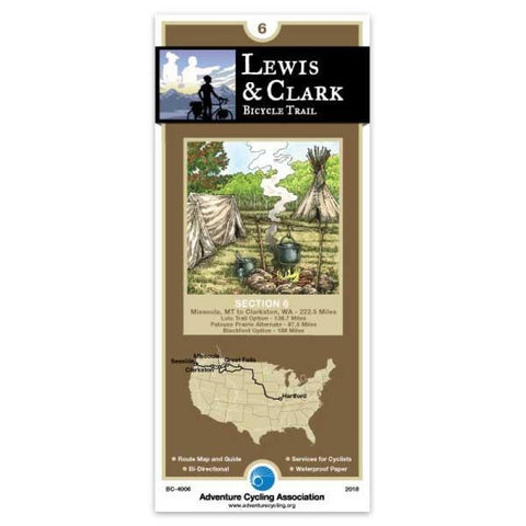
Lewis & Clark Bicycle Trail #6
Section 6 of the Lewis & Clark Bicycle Trail can be broken into two segments based on the Corps multidirectional travels. Missoula, Montana, to Clarkston, Washington, is a continuation of Lewis and Clarks 1804 travels westbound. The Blackfoot Option from Missoula, Montana, to Great Falls, Montana, follows the route Captain Lewis used eastbound in 1806. Both segments are described below. ; Main Route ; The main route follows the course of the Lochsa and Clearwater Rivers and is fairly level after crossing Lolo Pass. The 145.3-mile Lolo Trail closely follows the approximate route the Corps of Discovery took through the Bitterroot Mountains. The rugged, mountainous terrain is on mostly one-lane, narrow, gravel/dirt roads. Services and water are scarce. Once you arrive in Kamiah, there are two options to Clarkston. The 68-mile River Option is more true to history but there are concerns on U.S. Highway 12 due to traffic volumes and nonexistent shoulders with concrete barriers. From the m
- Product Number: ADCY_BC_4006_18
- Reference Product Number: - None -
- ISBN: 9780935108705
- Date of Publication: 5/1/2018
- Folded Size: 8.25 inches high by 3.75 inches wide
- Unfolded (flat) Size: 24 inches high by 18 inches wide
- Map format: Folded
- Map type: Trade Maps - Bicycling
- Geographical region: United States
- Geographical subregion: Idaho,Montana,Washington


