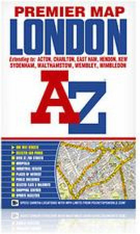
London Premier Map
This A-Z map of London is a full colour, single sided, fold-out premier street map, covering a six mile radius from Charing Cross in central London and extending to Muswell Hill to the north, London City Airport to the east, Crystal Palace to the south and Wembley to the west.Postcode districts, one-way streets, the congestion zone boundary and safety camera locations with their maximum speed limit are featured on the mapping.Attached to the cover is a booklet containing the index which lists streets, selected flats, walkways and places of interest and place, area and junction names. Also included is a separate listing of National Rail, Docklands Light Railway, London Overground and London Underground Stations and a list of Hospitals and Hospices covered by this map.In addition, the full London Underground map is featured on the inside front cover.This map is now available at an enlarged scale of 5 inches to 1 mile (8 cm to 1 km). The London Knowledge Map is aimed primarily at people l
- Product Number: AZM_LONDON_17
- Reference Product Number: - None -
- ISBN: 9781843488873
- Date of Publication: 1/2/2017
- Folded Size: 9.65 inches high by 6.26 inches wide
- Unfolded (flat) Size: 48 inches high by 27 inches wide
- Map format: Folded
- Map type: Trade Maps - City Maps
- Geographical region: United Kingdom
- Geographical subregion: England