
Bruce Peninsula Adventure Topographic Map
Bruce Peninsula Map Ontario
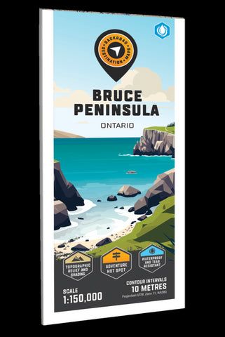
Covering the Bruce Peninsula from Owen Sound north to Tobermory in Southwestern Ontario, this recreation map features the campsites, fishing lakes and streams, hiking trails, ATV and snowmobile trails, paddling routes, access points and boat launches and countless other visitor facilities. Use for hiking, canoeing, camping, exploring, fishing, kayaking, ATVing, snowmobiling, skiing, wildlife viewing and more. With 1:10,000 water and trail data, no other map for the area provides you with this level of recreational or topographic detail. This map includes Bruce Peninsula, Owen Sound, Sauble Beach, Southampton, Tobermory, Wiarton, Bruce Peninsula National Park, Colpeys Bay, Fatom Five National Park, Georgian Bay, Lake Huron, Lions Head, MacGregor Point Park and more!
The printed version of the map is displayed at 1:150,000 scale on 61 x 94 cm (24 x 37 in) paper on a durable waterproof synthetic material. The Wall Maps have been customized to dis
- Product Number: BRM_ADV_BRUCE_23
- Reference Product Number: - None -
- ISBN: - None -
- Date of Publication: 12/1/2023
- Folded Size: 9 inches high by 4 inches wide
- Unfolded (flat) Size: 37 inches high by 24 inches wide
- Map format: Folded
- Map type: Trade Maps - Outdoor Recreation Maps
- Geographical region: Canada
- Geographical subregion: Ontario


