
Frontenac Provincial Park Adventure Topographic Map
Frontenac Provincial Park Map Ontario
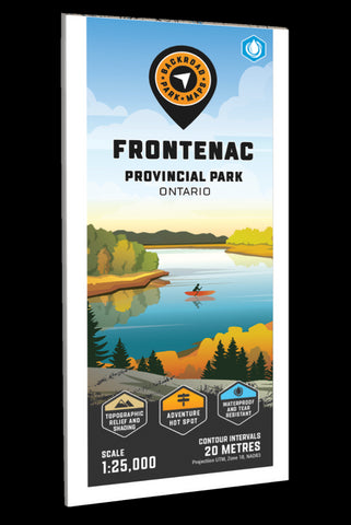
Covering Frontenac Provincial Park in eastern Ontario, this map features the hiking trails, campsites, paddling routes, portage routes, fish species and lakes in the area. Use for canoeing, camping, exploring, fishing, hiking, kayaking, skiing, wildlife viewing and more. With 1:10,000 water and trail data, no other map for the area provides you with this level of recreational or topographic detail. This 1:25,000 scale printed map includes Frontenac Provincial Park, Bedford Mills, Raymonds Corners, Sydenham, Big Clear Lake, Big Salmon Lake, Birch Lake, Buck Lake, Canoe Lake, Cedar Lake Loop, Devil Lake, North Otter Lake, Slide Lake and more!
The printed version of the map is displayed at 1:25,000 scale on 61 x 94 cm (24 x 37 in) paper on a durable waterproof synthetic material. The Wall Maps have been customized to display nicely and fit into common picture frame sizes so you can hang on the cabin, home or workshop wall. They are avail
- Product Number: BRM_ADV_FRONTENAC_23
- Reference Product Number: - None -
- ISBN: - None -
- Date of Publication: 1/1/2023
- Folded Size: 9 inches high by 4 inches wide
- Unfolded (flat) Size: 37 inches high by 24 inches wide
- Map format: Folded
- Map type: Trade Maps - Outdoor Recreation Maps
- Geographical region: Canada
- Geographical subregion: Ontario


