
Kakwa Falls – Kakwa Wildland Provincial Park Adventure Topographic Map
Kakwa Falls - Kakwa Wildland Provincial Park Map Alberta
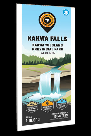
Focusing on the Kakwa Falls area of Kakwa Provincial Park in Alberta, this BRMB Adventure topographic map shows you all the access roads, trails for hiking, mountain biking, horseback riding, ATVing and snowmobiling, lakes and rivers for fishing, campsites, viewpoints, waterfalls and more! No other recreation map provides you with this much detail for the Kakwa Falls area. Using 1:20,000 scale data, this map features our industry-leading topographic contours and relief shading. Included on the map are Kakwa Falls, Bordertown Shelter, Deadhorse Meadows Campsite, Francis Peak Creek Falls, Kakwa Lake Trail, Kakwa Mountain, Kakwa River, Mouse Cache Creek, Two Lakes Road and more!
The printed version of the map is displayed at 1:25,000 scale on 61 x 94 cm (24 x 37 in) paperon a durable waterproof synthetic material. There are also options for folded and unfolded, which includes the cover and map legend, or as a more decorative
- Product Number: BRM_ADV_KAKWA_FALLS_23
- Reference Product Number: - None -
- ISBN: - None -
- Date of Publication: 12/1/2023
- Folded Size: 9 inches high by 4 inches wide
- Unfolded (flat) Size: 37 inches high by 24 inches wide
- Map format: Folded
- Map type: Trade Maps - Outdoor Recreation Maps
- Geographical region: Canada
- Geographical subregion: Alberta


