
British Columbia Road Map
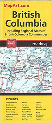
Folded Map MapArts latest edition offers unbeatable accuracy and reliability at a great price. Detailed indices make for quick and easy location of destinations. Its a must-have for anyone travelling in British Columbia. Includes regional maps of: Campbell River, Cranbrook, Dawson Creek, Fort St. John, Fraser Valley, Greater Victoria, Kamloops, Kelowna, Kitimat, Nanaimo, Penticton, Port Alberni, Powell River, Prince George, Prince Rupert, Smithers, Terrace, Vernon, Whistler and Williams Lake Features: Detailed British Columbia provincial map Yukon/Northwest Territories/Nunavut map Regional maps National parks Historic sites Downhill skiing and much, much more!
- Product Number: CCC_BC_23
- Reference Product Number: - None -
- ISBN: 9781553686811
- Date of Publication: 1/1/2023
- Folded Size: 9.25 inches high by 4.33 inches wide
- Unfolded (flat) Size: 39.17 inches high by 26.97 inches wide
- Map format: Folded
- Map type: Trade Maps - Road
- Geographical region: Canada
- Geographical subregion: British Columbia


