
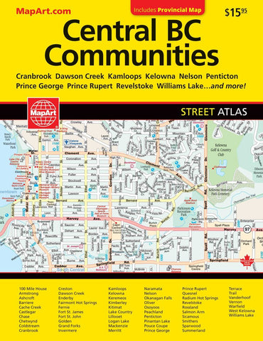
B.C. interior cities : street atlas
CCC Maps’ B.C. Interior Cities street atlas has all the features to make even the unfamiliar areas easy to navigate. Continuous full color mapping for the whole area with comprehensive street-level detail in an easy to follow grid design. Includes communities of 100 Mile House, Armstrong, Ashcroft, Barriere, Cache Creek, Castlegar, Chase, Coldstream, Cranbrook, Dawson Creek, Enderby, Fairmont Hot Springs, Fernie, Fort St. John, Golden, Invermere, Kamloops, Kelowna, Keremeos, Kimberley, Kitimat, Lake Country, Logan Lake, Marysville, Merritt, Naramata, Nelson, Okanagan Falls, Oliver, Osoyoos, Oyama, Peachland, Penticton, Prince George, Prince Rupert, Quesnel, Radium Hot Springs, Revelstoke, Rossland, Salmon Arm, Sicamous, Smithers, Summerland, Terrace, Trail, Vernon, Warfield, West Kelowna, Williams Lake and Winfield.
Features: arenas, golf courses, parks, points of interest, hospitals, schools, skiing, and more.
- Product Number: CCC_BC_INT_AT_18
- Reference Product Number: - None -
- ISBN: 9781553686491
- Date of Publication: 6/1/2018
- Unfolded (flat) Size: 6.69 inches high by 9.06 inches wide
- Map format: - None -
- Map type: Atlases - Popular/Travel
- Geographical region: Canada
- Geographical subregion: British Columbia


