
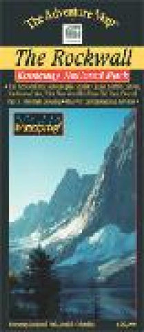
Kootenay National Park - The Rockwall Region Hiking Map
Superb backcountry campsites and a network of over 100 km of hiking trails await your journey along The Rockwall, the towering 900-metre high face of rock overlooking some of the most spectacular scenes in the Rockies. There are a variety of other easy to access attractions along Highway 93, including the Paint Pots, Marble Canyon, Numa Creek, Vermilion Crossing and the Kootenay Park Lodge. We also show a number of trails in adjacent Banff and Yoho National Parks. This 1:50,000 scale map covers the entire north end of Kootenay National Park and overlaps the Lake OHara map. Waterproof.
- Product Number: CHR_KOOTENAY_10
- Reference Product Number: 2301232M
- ISBN: 9780929140315
- Date of Publication: 6/1/2010
- Folded Size: 9 inches high by 4 inches wide
- Unfolded (flat) Size: 24 inches high by 9 inches wide
- Map format: Folded
- Map type: Trade Maps - Hiking
- Geographical region: Canada
- Geographical subregion: British Columbia


