
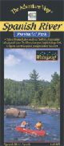
Spanish River Canoeing Map
One of southern Canadas great wilderness rivers, the Spanish is located northwest of Sudbury in Ontario. This 1:60,000 scale map shows you the rapids, falls, swifts, campsites, portages, access points and other features of the East and West Branches. In addition to a detailed description of the river, weve also provided lots of info about the rich log drive history of the area, the plentiful animals (black bears, moose, wolves, etc.), access options, local outfitters, safety concerns and much more. This river makes for a great introductory whitewater holiday (except in high water when more advanced skills are required). Waterproof.
- Product Number: CHR_SPAN_21
- Reference Product Number: 2301235M
- ISBN: 9780929140742
- Date of Publication: 6/1/2021
- Folded Size: 9 inches high by 4 inches wide
- Unfolded (flat) Size: 24 inches high by 9 inches wide
- Map format: Folded
- Map type: Trade Maps - Other sports
- Geographical region: Canada
- Geographical subregion: Ontario


