
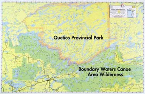
E-15: MINNESOTA-CANADIAN WILDERNESS
A comprehensive map of the area within and surrounding the Boundary Waters Canoe Area, from Crane Lake on the West to Gunflint Lake on the East. Also designated are the Superior National Forest, Canada’s Quetico Provincial Park, B.W.C.A., and international boundaries. Outboard motor routes within the B.W.C.A. are shown.
- Product Number: FSHR_E15
- Reference Product Number: - None -
- ISBN: - None -
- Unfolded (flat) Size: 22 inches high by 34 inches wide
- Map format: Wall
- Map type: Trade Maps - Fishing
- Geographical region: Canada,United States
- Geographical subregion: Minnesota,Ontario


