
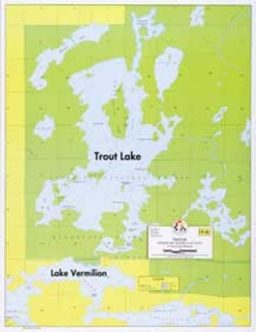
E-16: TROUT LAKE – HYDROGRAPHIC
A detailed, enlarged map of Trout and surrounding lakes. Lake bottom contours are shown at depth intervals of 20 feet. The adjacent portion of Lake Vermilion and connecting motorized portage are also shown.
- Product Number: FSHR_E16
- Reference Product Number: - None -
- ISBN: - None -
- Unfolded (flat) Size: 17 inches high by 22 inches wide
- Map format: Wall
- Map type: Trade Maps - Fishing
- Geographical region: United States
- Geographical subregion: Minnesota


