
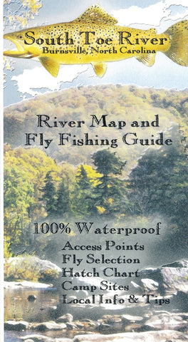
South Toe River Map, Burnsville, NC
The South Toe River is a medium sized, freestone river providing many trout fishing opportunities in its watershed. The South Toe features a Catch and Release, Fly Fishing Only Section as well as hatchery supported and wild tout water. Our full color, waterproof map measures 11? x 17? and shows the river from its headwaters to its confluence with the N. Toe. It has all the info you need to get on the water, including hatch charts, recommended flies, access points and local info.
- Product Number: FW_SOUTH_TOE_RIVER_10
- Reference Product Number: - None -
- ISBN: - None -
- Date of Publication: 6/1/2010
- Folded Size: 4.33 inches high by 2.17 inches wide
- Unfolded (flat) Size: 6.69 inches high by 4.33 inches wide
- Map format: Folded
- Map type: Trade Maps - Fishing
- Geographical region: United States
- Geographical subregion: Georgia,North Carolina,South Carolina,Tennessee


