
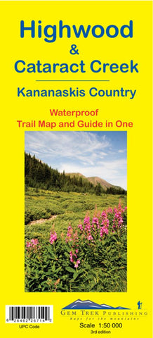
Highwood and Cataract Creek, Alberta Trail Map and Guide in One
This is the fourth map in Gem Treks Kananaskis Country series, covering south Kananaskis Country from Sheep River Falls in the north to Plateau Mountain in the south. It extends coverage south where the Bragg Creek-Sheep Valley map leaves off, and east where the Kananaskis Lakes map leaves off. It covers the trails southeast of Highwood Pass and accessed by Highways 40, 541, 940 and 542 (Johnson Creek Trail).
Popular trails on this map include Sheep River Trail, Junction Fire Lookout, Picklejar Lakes, Mt. Lipsett, Mist Ridge, Zephyr Creek, Grass Pass, Bull Creek Hills, Mt. Burke and Raspberry Ridge.
A 1:50 000-scale inset map on the back increases coverage south to take in the trails accessed from Highways 940 and 542, including Pasque Mountain, Plateau Mountain, Hailstone Butte Fire Lookout and Indian Graves Ridge.
Also on the back of the map are trail descriptions and photos of 18 recommended day hikes, two overnight trips and three classic mountain bike rides,
- Product Number: GEM_HIGHWOOD_13
- Reference Product Number: 2128997M
- ISBN: 9781895526714
- Date of Publication: 6/1/2013
- Folded Size: 4.5 inches high by 9.5 inches wide
- Unfolded (flat) Size: 36 inches high by 26 inches wide
- Map format: Folded
- Map type: Trade Maps - Park
- Geographical region: Canada
- Geographical subregion: Alberta


