
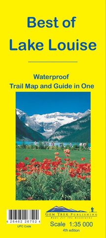
Best of Lake Louise Map
This map is designed for people who only plan to be in the Lake Louise area for one to three days, and want to know what the highlights are and how to find them.
On the front is a 1:35,000-scale detailed topographic map of the Lake Louise area, including the network of trails around Lake Louise Village, as well as those up at the Chateau Lake Louise.
Included on the front are trail descriptions of six classic hikes, including the Lake Louise Lakeshore Trail, the Saddleback and Fairview Mountain and hikes to the rustic teahouses at Lake Agnes and Plain of the Six Glaciers. As well as highlights, each trail has a difficulty rating, trail distance, elevation gain and an approximate time to allow.
On the back of the map are descriptions of must-see sights in the area, such as the Chateau Lake Louise and the Sightseeing Gondola, three highly recommended scenic drives, four of the best biking trails in the area and brief descriptions of recommended restaurants. Also in
- Product Number: GEM_LAKE_LOU2_15
- Reference Product Number: 2186744M
- ISBN: 9781895526752
- Date of Publication: 6/1/2015
- Folded Size: 9 inches high by 4 inches wide
- Unfolded (flat) Size: 16.5 inches high by 10.5 inches wide
- Map format: Folded
- Map type: Trade Maps - Park
- Geographical region: Canada
- Geographical subregion: Alberta


