
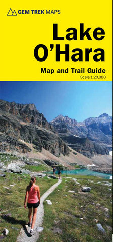
Lake OHara Map and Trail Guide
Gem Treks Lake OHara Map is a hiking and recreation map for the Lake OHara region of Yoho National Park in the Canadian Rockies.
This map features detailed cartography, accurate hiking trails, and all the most significant natural features of the region. On the back are detailed descriptions of the most popular hiking trails with special emphasis given to the Lake OHara Alpine Circuit. Reaching Lake OHara, in Yoho National Park, requires advance planning and we help you with information needed to get to the destination, as well as lodge and campground details. Note: Unlike our other hiking maps, this map is not waterproof, hence the lower price point.
Map Coverage
This map covers the entire Lake OHara region, from Duchesnay Basin the west to the highest peaks of the Continental Divide in the east and from the access road in the north to Lake McArthur in the south. Popular hiking trails on the Lake OHara Map include Lake OHara Lakeshore, Lake Oesa, Lake McArt
- Product Number: GEM_OHARA
- Reference Product Number: 2354538M
- ISBN: 9781895526950
- Date of Publication: 6/1/2020
- Folded Size: 9 inches high by 4 inches wide
- Unfolded (flat) Size: 24 inches high by 18 inches wide
- Map format: Folded
- Map type: Trade Maps - Park
- Geographical region: Canada
- Geographical subregion: British Columbia


