
Great War 1914-1918 Commemorative Map
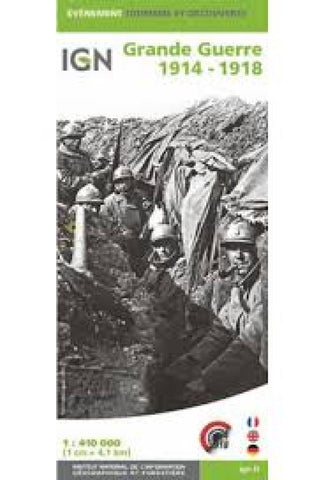
This World War I commemorative map from the French IGN presents an overview of the Western Front supported by detailed enlargements of the main battlefields, and highlighting 15 special Remembrance Trails, remaining trenches, numerous memorial sites, museums, cemeteries, etc. A road map of northern France at 1:410,000 shows the whole of the front line in October 1914 from the Swiss border to the coast of Flanders, also indicating the limit of the German advance and the eventual Armistice line of Nov. 11th, 1918. Three panels provide more detailed enlargements at 1:290,000: the Béthune - Péronne area including the Somme battlefields, Arras and Vimy Ridge; the Reims - Compiègne area with Chemin des Dammes; plus Verdun.
- Product Number: IGN_H_GREAT_18
- Reference Product Number: 2325294M
- ISBN: 9782758545880
- Date of Publication: 6/1/2018
- Folded Size: 9.84 inches high by 4.33 inches wide
- Unfolded (flat) Size: 47.64 inches high by 39.37 inches wide
- Map format: Folded
- Map type: Trade Maps - Historical
- Geographical region: France


