
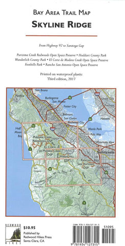
Skyline Ridge : Bay Area trail map
This regional map covers the San Francisco Peninsula from Highway 92 to Saratoga Gap. Although not an old-growth area, the map includes several second-growth redwood parks, including Purisima Creek OSP, El Corte de Madera Creek OSP, Huddart and Wunderlich County Parks, and Memorial County Park. Many other parks in the hills above Woodside, Palo Alto, Portola Valley, and Los Altos Hills are also included, such as Foothills Park, Arastradero Preserve, Rancho San Antonio OSP, and Hidden Villa.
- Product Number: RHP_SKYLINE_17
- Reference Product Number: 2256171M
- ISBN: 9781934127315
- Date of Publication: 6/1/2017
- Folded Size: 9.06 inches high by 4.33 inches wide
- Unfolded (flat) Size: 38.19 inches high by 25.2 inches wide
- Map format: Folded
- Map type: Trade Maps - Park
- Geographical region: United States
- Geographical subregion: California


