Alps Road Map
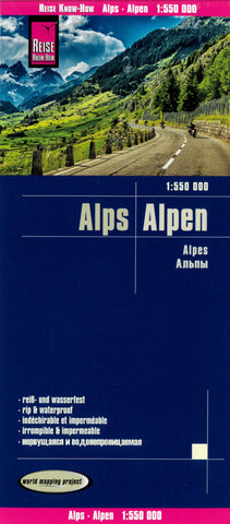
The Alps on light, waterproof and tear-resistant map from Reise Know-How in their highly acclaimed “World Mapping Project”, printed double-sided to provide the best balance between a good scale of 1:550,000 and a convenient size sheet. On the western half of the map coverage extends west to Grenoble and south from Lake Constance to the French Riviera; the eastern half extends from north of Munich to the Milan – Lake Garda – Venice motorway, includes much of Austria with Vienna, Linz and Graz, and covers most of Slovenia.
Topography is shown by altitude colouring in bands of 500m with plenty of names of mountain ranges, peaks with heights, valleys, etc, plus additional colouring for forests. Road network is clearly presented with road numbers, motorway junction numbers in Germany, Austria, France and Switzerland, and driving distances on main routes, but does not indicate some features included on many maps of this region such as seasonal closures of roads and/or mountain passes
- Product Number: RKH_ALPS_22
- Reference Product Number: - None -
- ISBN: 9783831774005
- Date of Publication: 6/1/2022
- Folded Size: 10.24 inches high by 4.72 inches wide
- Unfolded (flat) Size: 27.56 inches high by 39.37 inches wide
- Map format: Folded
- Map type: Trade Maps - Road

