
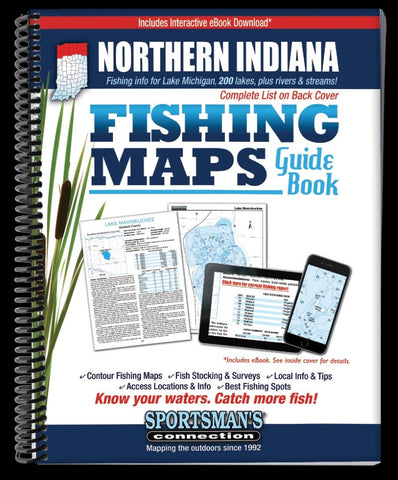
Northern Indiana Fishing Map Guide
The Northern Indiana Fishing Map Guide is a thorough, easy-to-use collection of detailed contour lake maps, fish stocking and survey data, and the best fishing spots and tips from area experts.
Fishing maps, detailed area road maps and exhaustive fishing information for lakes and streams in the northern portion of the state are provided in this handy, 224-page, 8 ½ x 11” spiral-bound volume.
Over 200 excellent fishing waters are covered, including Cedar Lake, Sylvan Lake, the Kankakee River, J.C. Murphey Lake and Worster Lake.
Coverage area includes the following Northern Indiana counties: Allen, Dekalb, Elkhart, Kosciusko, LaGrange, Noble, Steuben, St. Joseph, Marshall, Fulton, Pulaski, Starke, La Porte, Porter, Jasper, Newton, Lake and Whitley.
Whether youre salmon fishing on Lake Michigan, casting crankbaits for bass on Hudson Lake, hooking rainbows on Lake Gage or fishing and camping with the family on Ridinger Lake, youll find all the information you need to
- Product Number: SPCO_IN_NORTHERN_16
- Reference Product Number: - None -
- ISBN: 9781885010483
- Date of Publication: 6/1/2016
- Unfolded (flat) Size: 11 inches high by 8.5 inches wide
- Map format: - None -
- Map type: Trade Maps - Fishing
- Geographical region: United States
- Geographical subregion: Indiana


