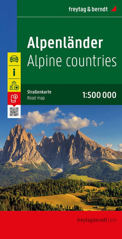
Alpine countries, street map 1:500,000
The Alps on a large, double-sided map from Freytag & Berndt with an index and street plans of major cities. Relief shading and spot heights, plus names of numerous mountain ranges and peaks indicate the topography. Road network indicates toll roads, motorway facilities, border crossings, roads closed to or unsuitable for caravans, seasonal closures, gradients, scenic routes, etc. National parks and places of interest are highlighted. The map has a grid showing latitude and longitude at intervals of 30’. Map legend includes English.
A booklet attached to the map cover has an index which also shows postal codes, plus street plans of the centres of Berne, Bolzano, Bratislava, Geneva, Genoa, Graz, Innsbruck, Klagenfurt, Linz, Ljubljana, Lyon, Maribor, Marseille, Milan, Monte Carlo, Munich, Salzburg, Turin, Venice, Vienna, Zagreb, and Zurich.
- Product Number: FB_ALPS_19
- Reference Product Number: - None -
- ISBN: 9783707904253
- Date of Publication: 8/27/2019
- Folded Size: 10.02 inches high by 5.11 inches wide
- Unfolded (flat) Size: 10.02 inches high by 5.11 inches wide
- Map format: Folded
- Map type: Trade Maps - Road
- Geographical region: Austria,France,Italy,Slovenia,Switzerland