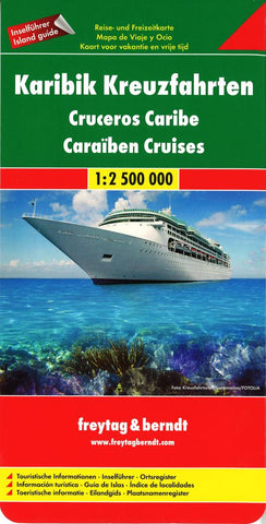
Karigik Kreuzfahrten = Cruceros Caribe = Caraiben cruises
Explore the Caribbean Islands with this Freytag & Berndt map. The best way to plan your trip, prepare your itinerary, and to travel, especially if youre planning to discover the islands on a cruise.
The legend is in English, French, German, Italian, Spanish, Hungarian, Polish, Slovak Czech.
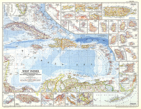
One side features a map of the Carribean with information insets on countries bordering the Carribean, for example Cuba, Jamaica, Florida, Haiti. The flipside includes detailed information about the islands found in the Carribean.
Freytag & Berndt maps make good use of an icon system. Icons show tourist information such as:
UNESCO World Heritage Sites
National parks
Castles, ruins and other archaeological sites.
Distances between points are shown as well as indications of steep gradients, all distances are in kilometres.
- Product Number: FB_CARIB_CR_11
- Reference Product Number: 2053607M
- ISBN: 9783707909692
- Date of Publication: 6/1/2011
- Folded Size: 10.24 inches high by 5.12 inches wide
- Unfolded (flat) Size: 33.07 inches high by 49.21 inches wide
- Map format: Folded
- Map type: Trade Maps - Travel
- Geographical region: Bahamas,Barbados,Cayman Islands,Cuba,Haiti,Jamaica,Panama,Puerto Rico,Trinidad and Tobago,Turks and Caicos Islands,Virgin Islands, United States
- Geographical subregion: Florida