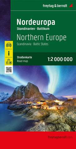
Northern Europe, road map 1:2,000,000
Explore Northern Europe with this Freytag & Berndt road map. The best way to plan your trip, prepare your itinerary, and to travel independently in these countries and regions.
The map covers Iceland, Faeroar Islands, Norway, Denmark, Sweden, Finland, Saint-Petersburg area, Estonia, Latvia, Lithuania, Northern Poland, Northeast Germany. Main roads such as motorways, dual-carriageways and highways are shown, as are some minor roads. National boundaries are clearly marked, with railways, airports, ferry routes all clearly marked. Intermediate driving distances between locations are shown in kilometres alongside the road.
The legend is in English, French, German, Italian, Spanish, Dutch, Czech, Slovak, Hungarian, and Polish.
- Product Number: FB_EUR_N_23
- Reference Product Number: - None -
- ISBN: 9783707921892
- Date of Publication: 7/30/2023
- Folded Size: 10.02 inches high by 5.11 inches wide
- Unfolded (flat) Size: 10.02 inches high by 5.11 inches wide
- Map format: Folded
- Map type: Trade Maps - Road
- Geographical region: Belarus,Denmark,Estonia,Faroe Islands,Finland,Iceland,Latvia,Lithuania,Norway,Sweden