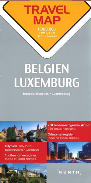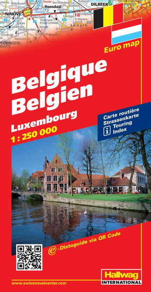
Belgium, road map 1:300,000
Belgium with Luxembourg at 1:300,000 on a large, indexed road map from Freytag & Berndt with coverage conveniently extending north to Rotterdam and south to the outskirts of Paris, with the city and its environs shown on a separate inset.
The map shows the road network emphasizing motorways, showing junctions with numbers and names, and services also with names. Driving distances are marked on main and many small local routes. Railway lines are includes and local airports are marked. A range of symbols marks locations of various places of interest, including campsites.
Topography is shown by relief shading with spot heights and colouring for woodlands. National parks and other protected areas are highlighted. The map has latitude and longitude lines at 30’ intervals. The index, in a separate booklet attached to the map cover lists locations with their postcodes. The booklet also provides street plans of central Brussels and Luxembourg City. Multilingual map legend inclu
- Product Number: FB_B_20
- Reference Product Number: - None -
- ISBN: 9783707903157
- Date of Publication: 1/3/2020
- Folded Size: 10.02 inches high by 5.11 inches wide
- Unfolded (flat) Size: 10.02 inches high by 5.11 inches wide
- Map format: Folded
- Map type: Trade Maps - Road
- Geographical region: Belgium