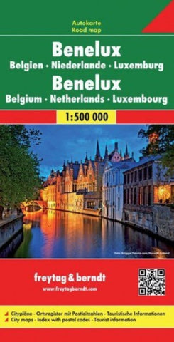
Benelux, road map 1:500,000
Benelux road map at 1:500,000 from Freytag & Berndt with good coverage of the Eifel and the Rhine Valley in Germany. The index booklet attached to the map cover has street plans of central Amsterdam, The Hague, Brussels and Luxembourg City.
Road network is graded into six different types of roads, with driving distances shown on most routes and motorway services clearly marked. Scenic routes are highlighted. The map also shows railway network, local airports, and both internal and international ferry services. Small symbols indicate various places of interest. National parks are highlighted. Latitude and longitude lines are drawn at 30 intervals. Map legend includes English.
- Product Number: FB_BENELUX_15
- Reference Product Number: 2031949M
- ISBN: 9783850842808
- Date of Publication: 8/10/2015
- Folded Size: 10.02 inches high by 5.11 inches wide
- Unfolded (flat) Size: 10.02 inches high by 5.11 inches wide
- Map format: Folded
- Map type: Trade Maps - Road
- Geographical region: Belgium,Luxembourg,Netherlands