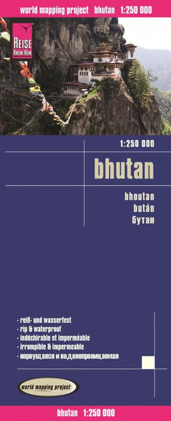
Political Map of Bhutan
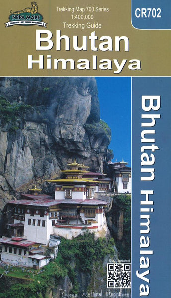
Bhutan on an indexed general map at 1:400,000 from the Kathmandu-based Nepa Maps, showing the country’s administrative dzongkhags (districts) in different colours and with subdivisions into gewogs. Presentation of the road network emphasises main roads and, although selected trekking trails are also marked, several locations are shown on the map without any access to them. Topography is indicated only by names and heights of selected peaks and passes. Locations of various temples are highlighted. Latitude and longitude lines are drawn at 30’ intervals. The map is indexed and additionally includes a panel listing names of various roads with distances.
Also provided are very basic plans of Thimphu City and Paro showing locations of various places of interest and facilities.
- Product Number: NEP_BHUT_POL_17
- Reference Product Number: 2313596M
- ISBN: 9799993323449
- Date of Publication: 6/1/2017
- Folded Size: 9.65 inches high by 4.92 inches wide
- Unfolded (flat) Size: 35.04 inches high by 20.28 inches wide
- Map format: Folded
- Map type: Trade Maps - Political
- Geographical region: Bhutan