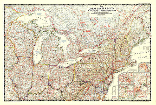
1987 Great Lakes Map Side 2
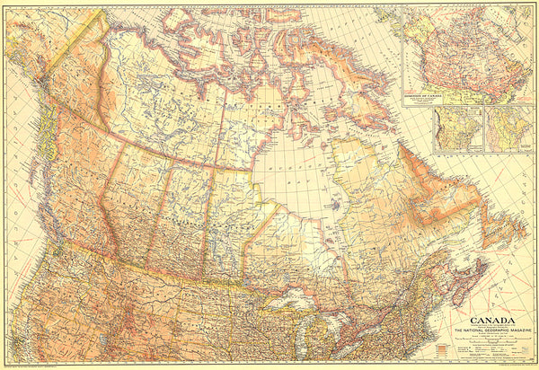
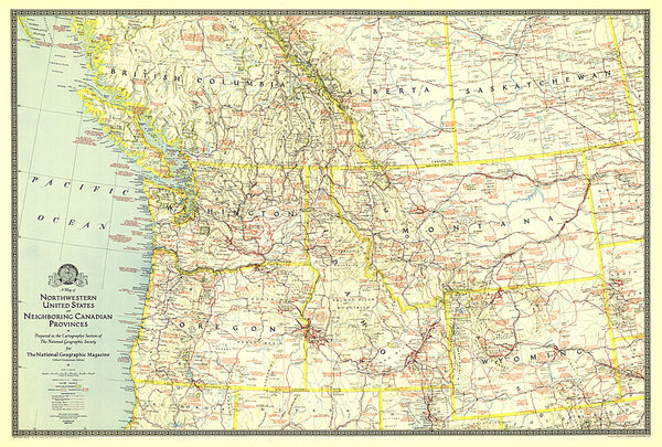
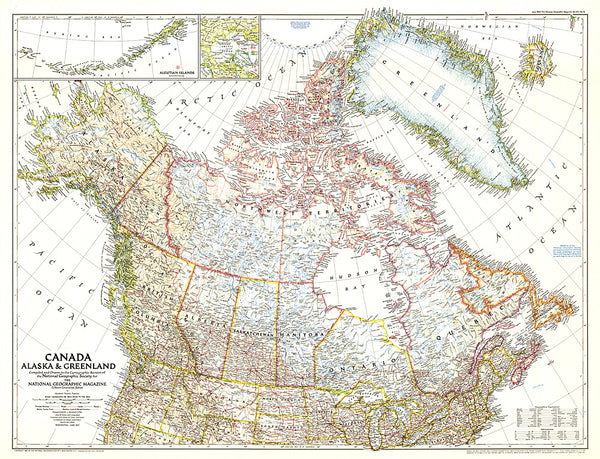
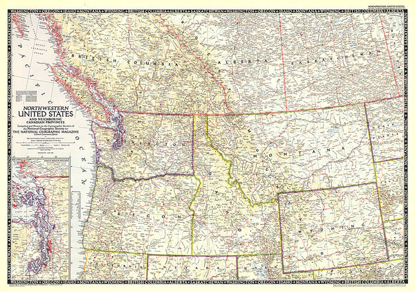
A maritime world in the heart of a continent, the Great Lakes have a long history of trade, immigration, agriculture, and industry. Published in July 1987, this map of the Great Lakes is half of a two-map set in the Making of America series. From the early days of the fur trade to Detroits auto industry, this educational map provides a wealth of information on this fascinating region.
- Product Number: PODHNG_US_CAN_GRE_LAK_87_2
- Reference Product Number: 2321267M
- ISBN: - None -
- Date of Publication: 6/1/1987
- Unfolded (flat) Size: 20.25 inches high by 27 inches wide
- Map format: Wall
- Map type: Trade Maps - Political
- Geographical region: Canada,United States
- Geographical subregion: Illinois,Indiana,Michigan,Minnesota,New York,Ohio,Ontario,Quebec,Wisconsin

