Antuco Trekking Map
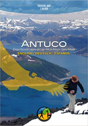
The first trekking map of the National Park Laguna del Laja in the Central Chilean Andes, with Antuco volcano (2979 m) and Sierra Velluda (3585 m). With altitude levels each 50 m, hiking and climbing routes (distances in km), lodgings, campings, etc. Landscape pictures and drawings of the local fauna.
Trekkingchile
Trekking Map, Central Chile, scale 1:30,000
English – German – Spanish.
1st edition, 2011
- Product Number: TC_ANT_11
- Reference Product Number: 2314584M
- ISBN: 9789568925093
- Date of Publication: 6/1/2011
- Folded Size: 7.5 inches high by 5.5 inches wide
- Unfolded (flat) Size: 27.5 inches high by 29 inches wide
- Map format: Folded
- Map type: Trade Maps - Road
- Geographical region: Chile