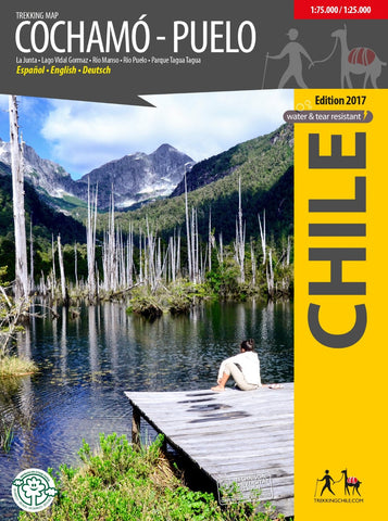
Cochamó - Puelo, Travel and Trekking Map
First travel map of the valleys Cochamó, Manso and Puelo, an area known for the climing area at La Junta, wild water rivers and the private nature park Tagua Tagua. General map at scale 1:75,000, with altitude levels each 50 m, hiking trails (distances in km and hours), lodgings, huts, camps etc.
Detail map 1:25,000 of La Junta with climbing and hiking routes and tourist services
Detail map 1:25,000 of Parque Tagua Tagua with hiking trails (km and hours), huts and attractions.
Landscape pictures and drawings of the local fauna. GPS compatible. Map developed with the support of the Institute for Cartography at the Dresden Technical University.
Trekkingchile, 1st edition 2017
Travel & Trekking Map, Southern Chile / Patagonia, scale 1:75,000 / 1:25,000
Printed on tear- and water-resistant, environmentally friendly Stone Paper.
English – German – Spanish.
- Product Number: TC_COCHAMO_17
- Reference Product Number: 2322703M
- ISBN: 9789568925413
- Date of Publication: 6/1/2017
- Folded Size: 7 inches high by 5 inches wide
- Unfolded (flat) Size: 25 inches high by 26 inches wide
- Map format: Folded
- Map type: Trade Maps - Hiking
- Geographical region: Chile