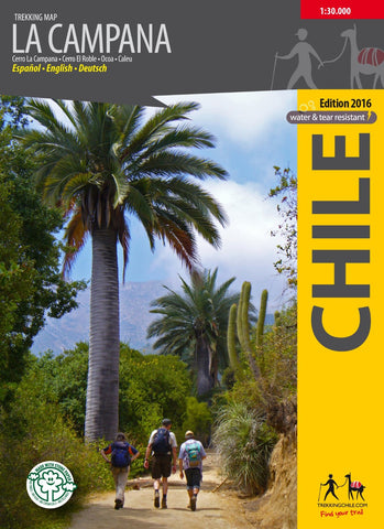
La Campana, Chile : Travel & Trekking Map
This is the first hiking map made of the National Park La Campana in the coastal Cordillera between Santiago and Viña del Mar. The map shows the Cerro La Campana (1828 m) and the Cerro El Roble (2223 m).
This map is GPS-compatible and has contour lines every 50 m, with access roads, trails, campsites etc. Photos and a large panoramic picture of the local flora and fauna. Map developed by the Cartographic Institute of the TU Dresden.
Printed on water and tear-resistant paper. In German, English, and Spanish.
- Product Number: TC_LA_CAMPANA_16
- Reference Product Number: 2322704M
- ISBN: 9789568925277
- Date of Publication: 6/1/2016
- Folded Size: 7.09 inches high by 4.72 inches wide
- Unfolded (flat) Size: 27.17 inches high by 27.56 inches wide
- Map format: Folded
- Map type: Trade Maps - Hiking
- Geographical region: Chile