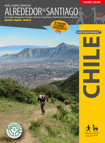
Around Santiago, Chile - Hiking, Biking, & Climbing Map
The first map showing 70 hiking, 9 climbing and 7 biking routes in the immediate vicinity of Santiago de Chile, including the following areas:
Cerro San Cristóbal
Cordón Manquehue
El Arrayán - Pochoco
La Dehesa
Santuario Yerba Loca, with Cerro La Paloma (4910 m)
Grupo Plomo: Cerro Pintor (4180 m), Cerro Leonera (4954 m), Punta Santiago (5083 m), Cerro Plomo (5424 m), Cerro Klatt (4309 m)
Valle Olivares
Alto del Naranjo - Cerro Ñipa - Cerro Provincia (2751 m)
San Carlos de Apoquindo
Parque Aguas de Ramón
Parque Mahuida and Cantalao
Parque Quebrada de Macul, Cerro La Cruz, Cerro San Ramón (3253 m), Punta Damas (3149)
Parque Panul
El Manzano - Los Azules - La Ermita
Cajón Río Colorado - Alfalfal - Ruta del Cóndor
Parque Nacional Río Clarillo
Scale 1:50.000, with two detailed maps 1:25.000 for Río Clarillo and Cerro San Cristobal.
With routes (distance and time), ac
- Product Number: TC_SANTIAGO_18
- Reference Product Number: 2322699M
- ISBN: 9789568925444
- Date of Publication: 6/1/2018
- Folded Size: 7 inches high by 5 inches wide
- Unfolded (flat) Size: 39 inches high by 24 inches wide
- Map format: Folded
- Map type: Trade Maps - Hiking
- Geographical region: Chile