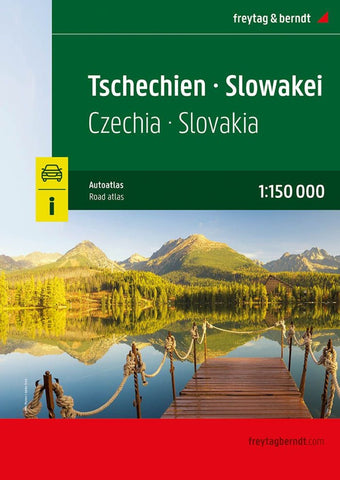
Czech Republic - Slovakia, road atlas 1:150,000
Road Atlas of the Czech Republic and Slovakia at 1:150,000 from Freytag & Berndt, presenting each county separately and accompanied by street plans and enlargements for main urban areas, plus mapping of the whole of Europe for route planning.
The atlas, published in an A4 spiral-bound format, presents each country on a separate set of maps, with cartography of both sections provided by F&B’s Czech subsidiary Shocart. Topography is shown by relief shading with plenty of spot heights and names of peaks, mountain ranges, etc. Boundaries of national parks and other protected areas are marked and restricted entry military areas are also indicates. Road network includes small country roads, many with driving distances marked on them, and shows steep gradients and locations of petrol stations. Railway lines are shown with stations. Symbols indicate various places of interest, including campsites, motels and mountain refuges. All the pages have a grid with UTM coordinates. Both section
- Product Number: FB_CZE_SVK_AT_22
- Reference Product Number: - None -
- ISBN: 9783707921823
- Date of Publication: 5/20/2022
- Folded Size: 11.79 inches high by 7.86 inches wide
- Unfolded (flat) Size: 11.79 inches high by 7.86 inches wide
- Map format: - None -
- Map type: Atlases - Popular/Travel
- Geographical region: Czechia,Slovakia