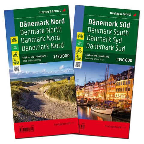
Denmark, street map set 1:150,000
Denmark at 1:150,000 in a set of two large, double-sided, GPS compatible maps from Freytag & Berndt highlighting National Cycle Routes and selected other cycle trails, officially designated tourist routes, and best sights, with descriptions in the accompanying booklet; plus street plans of central Copenhagen, Aalborg, Aarhus and Odense. Southern Jutland and the islands are on one map (coverage includes the adjoining coast of Sweden between Malmö and Helsingborg with the Øresund Bridge and ferry connections), with central and northern Jutland on the other sheet.
Topography is shown by spot heights, with colouring for woodlands and protected areas. Road network indicates distances on most small local routes. Denmark’s National Cycle Routes and PR panoramic trails are marked and annotated with their official numbers. The map also highlights special tourist routes and scenic roads. Railway lines are shown with stations and ferry routes are marked. Symbols show various places of int
- Product Number: FB_DEN_PK_21
- Reference Product Number: - None -
- ISBN: 9783707916560
- Date of Publication: 9/4/2021
- Folded Size: 10.02 inches high by 5.11 inches wide
- Unfolded (flat) Size: 10.02 inches high by 5.11 inches wide
- Map format: Folded
- Map type: Trade Maps - Road
- Geographical region: Denmark

