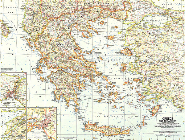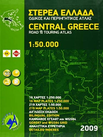
Central Greece, road & touring atlas (1:50 000)
The main section of the atlas has 178 pages of detailed maps with contours at 100m intervals, altitude colouring and relief shading to provide a vivid representation of the terrain. Nearly all names: town and villages, geographical features, etc, are given in both Greek and Latin alphabets, with just minor local churches shown in Greek only. Names of most archeological sites and many other places of interest are given in Greek and in English.
Road classification has 10 different grades, from toll motorways to minor dirt roads in poor condition and 4WD tracks. Intermediate driving distances are shown on main and secondary roads. The maps also indicate locations of petrol stations (with names of oil companies) and tire repairs facilities.
Local footpaths are also marked, with the E4 trans-European long-distance trail and routes 031, 032 and 033 highlighted. A wide range of symbols mark locations of various places of interest including accommodation (hotels, campsites, summe
- Product Number: ANA_AT_CENT_GREECE_09
- Reference Product Number: - None -
- ISBN: 9789609824927
- Date of Publication: 1/1/2009
- Unfolded (flat) Size: 13.4 inches high by 9.45 inches wide
- Map format: Folded
- Map type: Atlases - Popular/Travel
- Geographical region: Greece