Dublin City Map
Central districts of Dublin on a laminated and waterproof tourist plan from Borch, with an enlargement for the city center, a plan of Phoenix Park, and road maps of the capital’s environs and of the whole of the east coast between Dundalk and Waterford.
The main plan at 1:12,000 extends from Dublin Bay Passenger and Ferry Terminal to Phoenix Park, with the park itself shown on the reverse at 1:25,000. Coverage north/south extends from Drumcondra and Marino districts to the Grand Canal. On the reverse the city center, the Temple Bar and Grafton Street area, is shown in greater detail at 1:10,000. The plans shows metro stations, one way street and car parks, public buildings and places of interest, selected hotels, etc.
The whole of the city and its environs are shown at 1:125,000. A road map at 1:700,000 shows the eastern coast of Ireland from Dundalk to Waterford, extending inland to beyond Kilkenny and Carrick-on-Suir and highlighting places of interest, golf courses,
- Product Number: BOR_DUBLIN_18
- Reference Product Number: 2159650M
- ISBN: 9783866091344
- Date of Publication: 6/1/2018
- Folded Size: 9.45 inches high by 4.33 inches wide
- Unfolded (flat) Size: 25.98 inches high by 19.29 inches wide
- Map format: Folded
- Map type: Trade Maps - City Maps
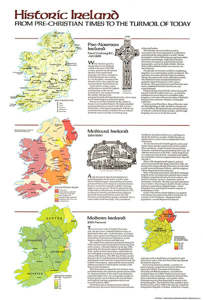
- Geographical region: Ireland