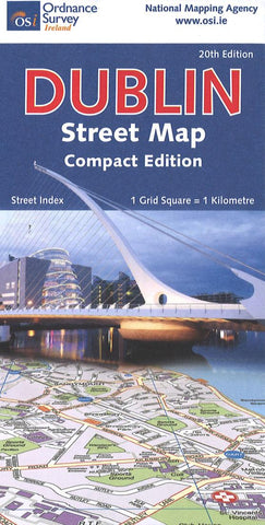
Dublin Street Map: Compact Edition
This double-sided map covers the entire city, split east and west and offers the most coverage of Dublin city/suburbs except for the Dublin street atlas (listed above). There is a 1:7,500 inset map of the city center, plus an inset of the city center bus lines and terminals. The map shows public and notable buildings, Garda stations, parks, post offices, hospitals, carparks, railways, bus routes, churches, etc. A separate street/building index is also included.
- Product Number: IOS_DUBLIN_20
- Reference Product Number: - None -
- ISBN: 9781912140657
- Date of Publication: 6/1/2020
- Folded Size: 8 inches high by 5 inches wide
- Unfolded (flat) Size: 29 inches high by 40 inches wide
- Map format: Folded
- Map type: Trade Maps - Road
- Geographical region: Ireland