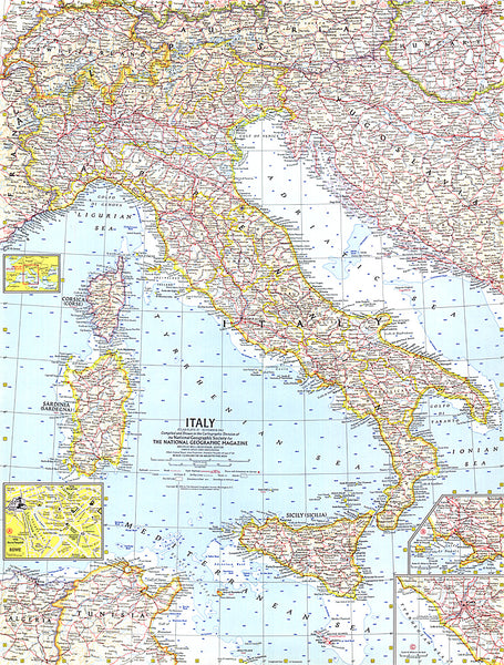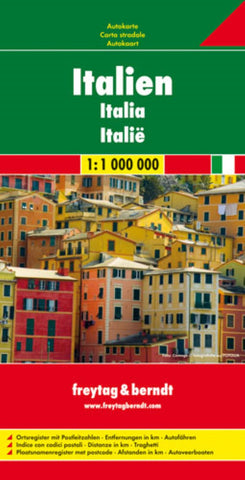
Italy Road Map
Freytag & Berndt’s road map of Italy at 1:1,000,000, designed to present the country’s motorway network and connecting primary and secondary roads, rather than show local roads in detail. Coverage includes most of Slovenia and extends along the eastern Adriatic to Dubrovnik.
The map also shows ferry connections between the mainland and the islands, including Corsica and the Croatian coast. Main mountain and hill ranges are names and UNESCO heritage sites are highlighted. The map has latitude and longitude lines at intervals of 1°. Multilingual map legend includes English.
The index, showing all localities with their postcodes, is in a separate booklet attached to the map cover.
- Product Number: FB_I_11
- Reference Product Number: - None -
- ISBN: 9783707909586
- Date of Publication: 3/20/2011
- Folded Size: 10.02 inches high by 5.11 inches wide
- Unfolded (flat) Size: 38.19 inches high by 49.21 inches wide
- Map format: Folded
- Map type: Trade Maps - Road
- Geographical region: Italy