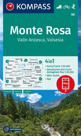
Monte Rosa hiking map (Kompass 88)
The 4in1 hiking map is now even clearer and easier to read. The hiking maps from the top hiking regions are equipped with an additional detailed scale map. The Active Guide provides you with information on all things outdoor and the free app for on the go is also available. This forms the perfect basis for planning a hiking tour. The precise cartography shows all walkable hiking trails including their classification. Information such as swimming pools, via ferrata, childrens playgrounds, huts and much more are also included on the map. Thanks to the tear-resistant and weatherproof paper quality, the map is a faithful companion in any weather.
destination:
- The 50 km long mountain range of Monte Rosa is located in the Swiss-Italian border area, in the Valais Alps. Its highest elevation is the 4,634 m high Dufourspitze, the highest mountain in Switzerland.
- The ride on the famous Gornergratbahn up to the 3,135 m high Gornergrat is spectacular: the view extends from the ice
- Product Number: KOM_88_ROSA_23
- Reference Product Number: - None -
- ISBN: 9783991218883
- Date of Publication: 5/30/2023
- Map format: Folded
- Map type: Trade Maps - Hiking
- Geographical region: Italy,Switzerland