
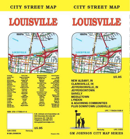
Louisville, Kentucky and New Albany, Indiana by GM Johnson
Folded street map of Louisville, KY, and surrounding area. One side covers Louisville from Floyd County to Middletown to Clarksville, IN, in the north and Louisville airport in the south. Reverse covers Valley Downs to Fairmont with inset of downtown Louisville, with extensive index of streets and places of interest.
- Product Number: 2221744M
- Product Code: GMJ_LOUISVILLE
- ISBN: 9781770684119
- Year of Publication: 2014
- Folded Size: 9.45 x 4.33 inches
- Unfolded Size: 26.38 x 38.58 inches
- Map type: Folded Map
- Geographical region: Kentucky


