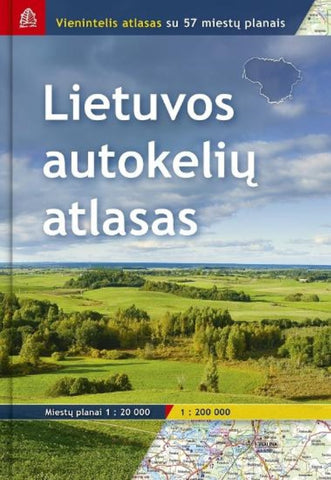
Lietuva 1:200 000 Road atlas
Road Atlas of Lithuania at 1:200,000 from the Riga-based Jana Seta in an A4 hardback format with indexed street plans of 57 towns, including enlargements for city centres of Vilnius, Kaunas and Klaipeda.
The whole country is covered at 1:200,000, presenting detailed classification of the road network with petrol stations, and railway lines with stops. Boundaries of national parks and other protected areas are marked and a range of symbols indicate tourist accommodations, campsites, various places of interest, etc. Picturesque towns and villages are highlighted. Colouring and graphics show forested areas and swamps and the atlas also shows the country’s administrative divisions. Latitude lines are at intervals of 5’ intervals and longitude at 10’. Map legend includes English.
Detailed street plans of 57 towns at 1:20,000 or 1:25,000 are annotated with places of interest and various facilities including hotels. Larger towns are shown on two or more pages. For Vilnius, Kau
- Product Number: JAN_LITH_AT_14
- Reference Product Number: - None -
- ISBN: 9789984076461
- Date of Publication: 6/1/2014
- Unfolded (flat) Size: 12 inches high by 8.5 inches wide
- Map format: - None -
- Map type: Atlases - National Atlases
- Geographical region: Lithuania