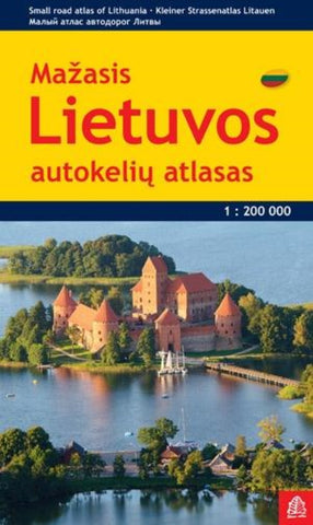
Lietuva 1:200 000 Small Road atlas
Lithuania Road Atlas from the Riga based Jana Seta, in handy glovebox paperback format with street plans of 19 towns, including an enlargement for city centre of Vilnius, The whole country is covered at 1:200,000, showing detailed classification of road network with petrol stations, and railway lines with stops. Boundaries of national parks and other protected areas are marked and a range of symbols indicate tourist accommodations, campsites, various places of interest, etc. Picturesque towns and villages are highlighted. Colouring and graphics show forested areas and swamps and the atlas also shows the country’s administrative divisions. Latitude lines are at intervals of 5’ intervals and longitude at 10’. The atlas has an extensive index of localities.
The atlas also includes street plans of 19 towns at 1:20,000 or 1:25,000, annotated with places of interest and various facilities. For Vilnius the atlas has a plan of its central districts, plus a road map of the surrounding area hig
- Product Number: JAN_LITH_AT_PKT_13
- Reference Product Number: - None -
- ISBN: 9789984075556
- Date of Publication: 6/1/2013
- Unfolded (flat) Size: 9.45 inches high by 5.7 inches wide
- Map format: - None -
- Map type: Atlases - National Atlases
- Geographical region: Lithuania