
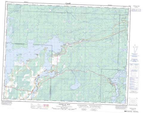
052L05 Pointe Du Bois Canada topo map, 1:50,000 scale
052L05 Pointe Du Bois NRCAN topographic map.
Includes UTM and GPS geographic coordinates (latitude and longitude). This 50k scale map is suitable for hiking, camping, and exploring, or you could frame it as a wall map.
Printed on-demand using high resolution, on heavy weight and acid free paper, or as an upgrade on a variety of synthetic materials.
Topos available on paper, Waterproof, Poly, or Tyvek. Usually shipping rolled, unless combined with other folded maps in one order.
- Product Number: NRCAN-052L05
- Parent Topo: TOPO-052L
- Map ID also known as: 052L05, 52L5, 52L05
- Unfolded Size: Approximately 26" high by 36" wide
- Weight (paper map): ca. 55 grams
- Map Type: POD NRCAN Topographic Map
- Map Scale: 1:50,000
- Geographical region: Manitoba, Canada
Neighboring Maps:
All neighboring Canadian topo maps are available for sale online at 1:50,000 scale.
Purchase the smaller scale map covering this area: Topo-052L
Spatial coverage:
Topo map sheet 052L05 Pointe Du Bois covers the following places:
- Blind Bay - Cases Bay - Coppermine Bay - Hay Bay - Keskinen Bay - Lettonia Bay - Mayos Bay - Pedruchny Bay - Pinawa Bay - Poplar Bay - Sandpit Bay - Sawmill Bay - Grausdin Point - Gronsdin Point - Harding Point - Lapins Point - Stevenson Point - North Shore Channel - Pinawa Channel - Coca Cola Falls - McArthur Falls - McArthur Generating Station - Pointe du Bois Generating Station - Foures Island - Fournier Island - Mattson Island - Nazarko Island - Wendigo Island - Anson Lake - Augie Lake - Barske Lake - George Lake - Gillespie Lake - Keys Lake - Lac du Bois - Lac du Bonnet - Lost Fry Lake - Pinawa Lake - Rice Lake - Sarap Lake - Sarapu Lake - Shatford Lake - Shelson Lake - Lee River Provincial Recreation Park - Nopiming Provincial Park - Poplar Bay Provincial Park - Poplar Bay Provincial Recreation Park - Whiteshell Provincial Forest - Whiteshell Provincial Park - Bear Creek - Bird River - Boggy Creek - Coppermine Creek - Kulikowski Channel - Lee River - North Coca Cola Creek - Oiseau River - Peterson Creek - Rice Creek - Rivière Winnipeg - Shatford Creek - South Shore Channel - Sweet Creek - Sweet Creek - Sweet Creek - Winnipeg River - Willow Reef - Bird River - Eight Foot Falls - Lee River - Lee River Falls - Lettonia - McArthur Falls - Pinawa Bay - Pointe du Bois - Poplar Bay - Riverland - Sunset Bay - Wendigo Beach


