
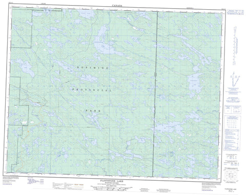
052L11 Flintstone Lake Canada topo map, 1:50,000 scale
052L11 Flintstone Lake NRCAN topographic map.
Includes UTM and GPS geographic coordinates (latitude and longitude). This 50k scale map is suitable for hiking, camping, and exploring, or you could frame it as a wall map.
Printed on-demand using high resolution, on heavy weight and acid free paper, or as an upgrade on a variety of synthetic materials.
Topos available on paper, Waterproof, Poly, or Tyvek. Usually shipping rolled, unless combined with other folded maps in one order.
- Product Number: NRCAN-052L11
- Parent Topo: TOPO-052L
- Map ID also known as: 052L11, 52L11
- Unfolded Size: Approximately 26" high by 36" wide
- Weight (paper map): ca. 55 grams
- Map Type: POD NRCAN Topographic Map
- Map Scale: 1:50,000
- Geographical region: Manitoba, Canada
Neighboring Maps:
All neighboring Canadian topo maps are available for sale online at 1:50,000 scale.
Purchase the smaller scale map covering this area: Topo-052L
Spatial coverage:
Topo map sheet 052L11 Flintstone Lake covers the following places:
- Alga Lake - Anderson Lake - Anderson Lake - Banksian Lake - Bee Lake - Black Lake - Boulton Lake - Bud Lake - Burton Lake - Buss Lake - Cat Lake - Chiroptera Lake - Cole Lake - Coyote Lake - Day Lake - Elbow Lake - Elton Lake - Euclid Lake - Finger Lake - Flintstone Lake - Gayner Lake - Gem Lake - Grey Wolf Lake - Grierson Lake - Grozik Lake - Heaman Lake - Hollinsworth Lake - Hutch Lake - Johnston Lake - Kickley Lake - Kickley Lake - Kinsley Lake - Kippen Lake - Kowalchuk Lake - Lake Bon - Lapin Lake - Lavallee Lake - Lily Lake - Lincoln Lake - Little Flintstone Lake - Lost Claim Lake - Lundmark Lake - MacDougall Lake - Marten Lake - McGregor Lake - McMurachy Lake - McRae Lake - McRae Lake - Metcalf Lake - Michalski Lake - Mink Lake - Narraway Lake - Ninety Lake - Ninety Lake - Normandy Lake - Octopus Lake - Odd Lake - Odd Lake - Purper Lake - Rathall Lake - Reahil Lake - Red Fox Lake - Rickaby Lake - Rumble Lake - Sausage Lake - Seagrim Lake - Shoe Lake - Slate Lake - Slywchuk Lake - Smoky Lake - Snowshoe Lake - Snowshoe Lake - Springer Lake - Stamm Lake - Terminal Lake - Tooth Lake - Trident Lake - Turk Lake - Turriff Lake - Westergaard Lake - Wilson Lake - Wingiskus Lake - Woollard Lake - Wrathall Lake - Wylie Lake - Champ de manoeuvre Snowshoe Lake - Snowshoe Lake Training Area - Eagle-Snowshoe Conservation Reserve - Nopiming Provincial Park - Manitoba - Bird River - Bird River - Cat Creek - Irregular River - Manigotagan River - Manigotagan River - Moose River - Moose River - Oiseau River - Oiseau River - Peterson Creek - Rabbit River - Rickaby Creek - Trident Creek - Slate Lake


