
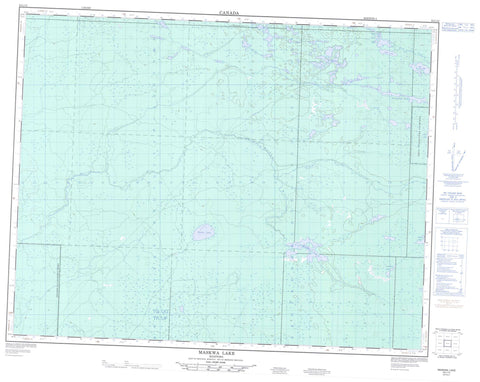
052L12 Maskwa Lake Canada topo map, 1:50,000 scale
052L12 Maskwa Lake NRCAN topographic map.
Includes UTM and GPS geographic coordinates (latitude and longitude). This 50k scale map is suitable for hiking, camping, and exploring, or you could frame it as a wall map.
Printed on-demand using high resolution, on heavy weight and acid free paper, or as an upgrade on a variety of synthetic materials.
Topos available on paper, Waterproof, Poly, or Tyvek. Usually shipping rolled, unless combined with other folded maps in one order.
- Product Number: NRCAN-052L12
- Parent Topo: TOPO-052L
- Map ID also known as: 052L12, 52L12
- Unfolded Size: Approximately 26" high by 36" wide
- Weight (paper map): ca. 55 grams
- Map Type: POD NRCAN Topographic Map
- Map Scale: 1:50,000
- Geographical region: Manitoba, Canada
Neighboring Maps:
All neighboring Canadian topo maps are available for sale online at 1:50,000 scale.
Purchase the smaller scale map covering this area: Topo-052L
Spatial coverage:
Topo map sheet 052L12 Maskwa Lake covers the following places:
- Black River Lake - Carlsons Pond - Cigar Lake - Donner Lake - East Rat Lake - Glen Lake - Gordon Lake - Hutt Lake - Little Bear Lake - Maskwa Lake - One Mile Lake - Rat Lake - Round Lake - S Lake - Senate Lake - Shoe Lake - Smoky Lake - Terminal Lake - West Gordon Lake - West Rat Lake - Nopiming Provincial Park - Cat Creek - Little Bear Creek - Maskwa River - Moose Creek - North Coca Cola Creek - Pine Creek


