
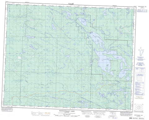
052L13 Manigotagan Lake Canada topo map, 1:50,000 scale
052L13 Manigotagan Lake NRCAN topographic map.
Includes UTM and GPS geographic coordinates (latitude and longitude). This 50k scale map is suitable for hiking, camping, and exploring, or you could frame it as a wall map.
Printed on-demand using high resolution, on heavy weight and acid free paper, or as an upgrade on a variety of synthetic materials.
Topos available on paper, Waterproof, Poly, or Tyvek. Usually shipping rolled, unless combined with other folded maps in one order.
- Product Number: NRCAN-052L13
- Parent Topo: TOPO-052L
- Map ID also known as: 052L13, 52L13
- Unfolded Size: Approximately 26" high by 36" wide
- Weight (paper map): ca. 55 grams
- Map Type: POD NRCAN Topographic Map
- Map Scale: 1:50,000
- Geographical region: Manitoba, Canada
Neighboring Maps:
All neighboring Canadian topo maps are available for sale online at 1:50,000 scale.
Purchase the smaller scale map covering this area: Topo-052L
Spatial coverage:
Topo map sheet 052L13 Manigotagan Lake covers the following places:
- Moar Island - Big Clearwater Lake - Brooks Lake - Drummer Lake - Elbow Lake - Farrington Lake - Field Lake - Fields Lake - Frenchman Lake - Gilmour Lake - Gold Lake - Happy Lake - Independence Lake - Kanisokamak Lakes - Little Clearwater Lake - Long Lake - Manigotagan Lake - McRorie Lake - Norseman Lake - Owl Lake - Papineau Lake - Prayzner Lake - Quesnel Lake - Rainy Lake - Rat Lake - Red Rice Lake - Salveigh Lake - Spence Lake - Turtle Lake - Vermette Lake - Walton Lake - Weldon Lake - Nopiming Provincial Park - Kettle Rapids - Turtle Rapids - Black River - Caribou Creek - Clearwater Creek - Elbow Creek - Fredrickson Creek - Gold Creek - Manigotagan River - Moose River - O'Hanly River - Papineau Creek - Red Rice Creek - Ross River - Russell Creek - Sandy River - Spence Creek - Walton Creek - Caribou Landing


