
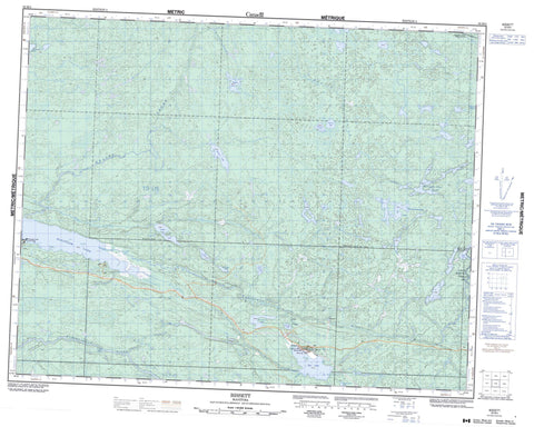
052M04 Bissett Canada topo map, 1:50,000 scale
052M04 Bissett NRCAN topographic map.
Includes UTM and GPS geographic coordinates (latitude and longitude). This 50k scale map is suitable for hiking, camping, and exploring, or you could frame it as a wall map.
Printed on-demand using high resolution, on heavy weight and acid free paper, or as an upgrade on a variety of synthetic materials.
Topos available on paper, Waterproof, Poly, or Tyvek. Usually shipping rolled, unless combined with other folded maps in one order.
- Product Number: NRCAN-052M04
- Parent Topo: TOPO-052M
- Map ID also known as: 052M04, 52M4, 52M04
- Unfolded Size: Approximately 26" high by 36" wide
- Weight (paper map): ca. 55 grams
- Map Type: POD NRCAN Topographic Map
- Map Scale: 1:50,000
- Geographical region: Manitoba, Canada
Neighboring Maps:
All neighboring Canadian topo maps are available for sale online at 1:50,000 scale.
Purchase the smaller scale map covering this area: Topo-052M
Spatial coverage:
Topo map sheet 052M04 Bissett covers the following places:
- Charles Falls - Pillow Falls - Silver Falls - Hares Island - East Lee Lake - Eric Lake - Erik Lake - Horseshoe Lake - Independence Lake - Kakaki Lake - Kaminisoowung Lake - Kaneesho Otig Lake - Leaf Lake - Little Beaver Lake - Okimaw Lake - Rice Lake - Round Lake - Rutherford Lake - Saxton Lake - Tuhkanen Lake - Wanipigow Lake - West Gold Lake - West Lee Lake - Woods Lake - Atikaki Provincial Park - Atikaki Provincial Wilderness Park - Chief George Barker Wildlife Refuge - South Atikaki Park Reserve - Wanipigow Lake Provincial Recreation Park - Beaver Creek - Broadleaf River - Gold Creek - Hay Creek - Independence Creek - Kakaki Creek - Manigotagan River - Normandy Creek - Papineau Creek - Red Rice Creek - Wanipigow River - Gabriel Portage - Bissett - Government Landing - Wanipigow East - Wanipigow West


