
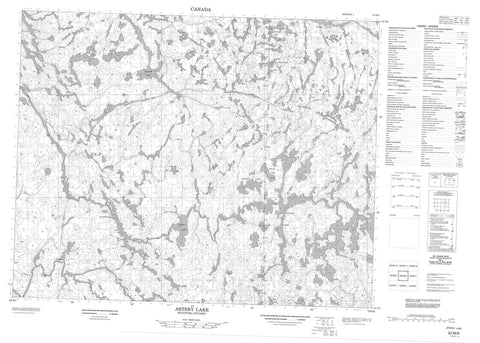
052M06 Artery Lake Canada topo map, 1:50,000 scale
052M06 Artery Lake NRCAN topographic map.
Includes UTM and GPS geographic coordinates (latitude and longitude). This 50k scale map is suitable for hiking, camping, and exploring, or you could frame it as a wall map.
Printed on-demand using high resolution, on heavy weight and acid free paper, or as an upgrade on a variety of synthetic materials.
Topos available on paper, Waterproof, Poly, or Tyvek. Usually shipping rolled, unless combined with other folded maps in one order.
- Product Number: NRCAN-052M06
- Parent Topo: TOPO-052M
- Map ID also known as: 052M06, 52M6, 52M06
- Unfolded Size: Approximately 26" high by 36" wide
- Weight (paper map): ca. 55 grams
- Map Type: POD NRCAN Topographic Map
- Map Scale: 1:50,000
- Geographical region: Manitoba, Canada
Neighboring Maps:
All neighboring Canadian topo maps are available for sale online at 1:50,000 scale.
Purchase the smaller scale map covering this area: Topo-052M
Spatial coverage:
Topo map sheet 052M06 Artery Lake covers the following places:
- Asineewakkayhigun Falls - Keeshata Falls - Artery Lake - Artery Lake - Burriss Lake - Bushey Lake - Ford Lake - Ford Lake - Hobbs Lake - Hobbs Lake - Little Pepper Lake - MacGillivray Lake - MacGillivray Lake - McGillivray Lake - Noname Lake - Philip Lake - Philip Lake - Sawdon Lake - Schykulski Lake - Scout Lake - Stonehouse Lake - Taskapakawee Lake - Thunder Lake - Walker Lake - Walker Lake - Atikaki Provincial Park - Atikaki Provincial Wilderness Park - Woodland Caribou Provincial Park - Manitoba - Wawataynee Rapids - Artery Creek - Bloodvein River - Bloodvein River - Gammon River - Taskapakawee Creek


