
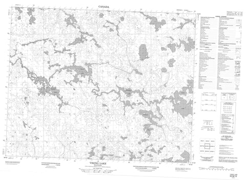
052M13 Viking Lake Canada topo map, 1:50,000 scale
052M13 Viking Lake NRCAN topographic map.
Includes UTM and GPS geographic coordinates (latitude and longitude). This 50k scale map is suitable for hiking, camping, and exploring, or you could frame it as a wall map.
Printed on-demand using high resolution, on heavy weight and acid free paper, or as an upgrade on a variety of synthetic materials.
Topos available on paper, Waterproof, Poly, or Tyvek. Usually shipping rolled, unless combined with other folded maps in one order.
- Product Number: NRCAN-052M13
- Parent Topo: TOPO-052M
- Map ID also known as: 052M13, 52M13
- Unfolded Size: Approximately 26" high by 36" wide
- Weight (paper map): ca. 55 grams
- Map Type: POD NRCAN Topographic Map
- Map Scale: 1:50,000
- Geographical region: Manitoba, Canada
Neighboring Maps:
All neighboring Canadian topo maps are available for sale online at 1:50,000 scale.
Purchase the smaller scale map covering this area: Topo-052M
Spatial coverage:
Topo map sheet 052M13 Viking Lake covers the following places:
- Shining Falls - Asingameeskwapeekeeseech Island - Jackson Island - Murray Island - Amphibian Lake - Braybrook Lake - Button Lake - Family Lake - Fedirchyk Lake - Gow Lake - Hangar Lake - Keecheemaskiko Lake - Manomenakaykokan Lake - Maskiko Lake - Nacheesatagun Lake - O'Kelly Lake - Oweekunis Lake - Scarff Lake - Slator Lake - Vickers Lake - Viking Lake - Atikaki Provincial Park - Atikaki Provincial Wilderness Park - Amoskawaywe Creek - Goose Creek - Leyond River - Oweekunis Creek - Pigeon River


