
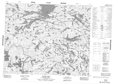
053D11 Kagipo Lake Canada topo map, 1:50,000 scale
053D11 Kagipo Lake NRCAN topographic map.
Includes UTM and GPS geographic coordinates (latitude and longitude). This 50k scale map is suitable for hiking, camping, and exploring, or you could frame it as a wall map.
Printed on-demand using high resolution, on heavy weight and acid free paper, or as an upgrade on a variety of synthetic materials.
Topos available on paper, Waterproof, Poly, or Tyvek. Usually shipping rolled, unless combined with other folded maps in one order.
- Product Number: NRCAN-053D11
- Parent Topo: TOPO-053D
- Map ID also known as: 053D11, 53D11
- Unfolded Size: Approximately 26" high by 36" wide
- Weight (paper map): ca. 55 grams
- Map Type: POD NRCAN Topographic Map
- Map Scale: 1:50,000
- Geographical region: Manitoba, Canada
Neighboring Maps:
All neighboring Canadian topo maps are available for sale online at 1:50,000 scale.
Purchase the smaller scale map covering this area: Topo-053D
Spatial coverage:
Topo map sheet 053D11 Kagipo Lake covers the following places:
- Kaskakwameeneeseekak Island - Apeetakayopaskoseewakakik Lake - Apisko Lake - Asaycheekomi Lake - Black Birch Lake - Charron Lake - Kaaseekokakik Lake - Kachapowaywaykamak Lake - Kagipo Lake - Kamanomeenekak Lake - Kaokasaseekaki Lake - Mackay Lake - Mackay Lake - Marila Lake - Marila Lake - Meandrine Lake - Meandrine Lake - Monaasanani Lake - North Kaokasaseekaki Lake - Palsen Lake - Perreault Lake - Perreault Lake - Shallow Lake - Wasayameesi Lake - Weeseena Lake - Windigo Lake - Manitoba - Assapan River - Kaneepeecheekopeeteekwayak River - McPhail River - Meandrine River - Monaasanani Creek - Palsen River - Palsen River


