
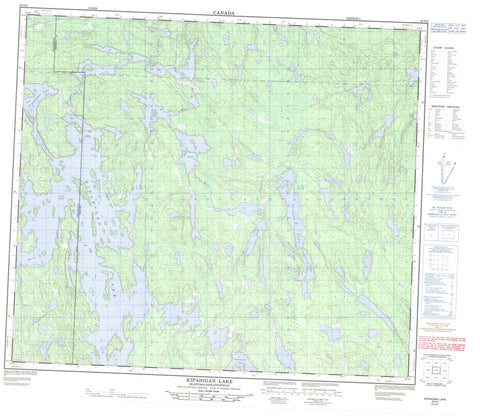
063N05 Kipahigan Lake Canada topo map, 1:50,000 scale
063N05 Kipahigan Lake NRCAN topographic map.
Includes UTM and GPS geographic coordinates (latitude and longitude). This 50k scale map is suitable for hiking, camping, and exploring, or you could frame it as a wall map.
Printed on-demand using high resolution, on heavy weight and acid free paper, or as an upgrade on a variety of synthetic materials.
Topos available on paper, Waterproof, Poly, or Tyvek. Usually shipping rolled, unless combined with other folded maps in one order.
- Product Number: NRCAN-063N05
- Parent Topo: TOPO-063N
- Map ID also known as: 063N05, 63N5, 63N05
- Unfolded Size: Approximately 26" high by 36" wide
- Weight (paper map): ca. 55 grams
- Map Type: POD NRCAN Topographic Map
- Map Scale: 1:50,000
- Geographical region: Manitoba, Canada
Neighboring Maps:
All neighboring Canadian topo maps are available for sale online at 1:50,000 scale.
Purchase the smaller scale map covering this area: Topo-063N
Spatial coverage:
Topo map sheet 063N05 Kipahigan Lake covers the following places:
- Ralph Bay - Ward Bay - Patterson Narrows - Proctor Narrows - Boulton Island - Isfeld Island - Withers Island - Caledon Lake - Coull Lake - Dave Burke Lake - Dey Lake - Gestur Lake - Gummerson Lake - James Lake - Jumbo Lake - Kipahigan Lake - Kipahigan Lake - Morley Lake - Peter Phillips Lake - Prince Henry Lake - Prince Michael of Kent Lake - Prince William Lake - Princess Beatrice Lake - Princess Eugenie Lake - Russick Lake - Sweet Grass Lake - Tent Lake - Waterbury Lake - Zara Phillips Lake - More Creek


